
Freunden von diesem Artikel berichten:
Rand Mcnally Folded Map: Fort Lauderdale Metro Street Map Map edition
Rand Mcnally

Rand Mcnally Folded Map: Fort Lauderdale Metro Street Map Map edition
Rand Mcnally
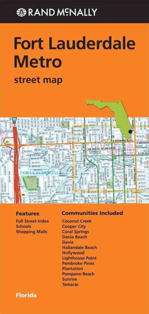
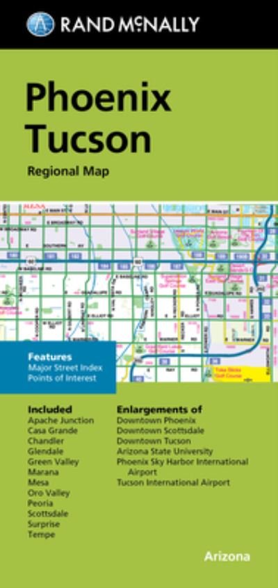
Rand McNally's folded map for Fort Lauderdale Metro is a must-have for anyone traveling in and around this part of Florida, offering unbeatable accuracy and reliability at a great price. Our trusted cartography shows all Interstate, U. S., state, and county highways, along with clearly indicated parks, points of interest, airports, county boundaries, and streets. The easy-to-use legend and detailed index make for quick and easy location of destinations. You'll see why Rand McNally folded maps have been the trusted standard for years.
Regularly updated
Full-color maps
Clearly labeled Interstate, U. S., state, and county highways
Indications of parks, points of interest, airports, county boundaries, schools, shopping malls, downtown & vicinity maps
Easy-to-use legend
Detailed index & full street index
Convenient folded size
© 2013
Communities Included: Coconut Creek, Cooper City, Coral Springs, Dania Beah, Davie, Hallandale Beach, Hollywood, Lighthouse Point, Pembroke Pines, Plantation, Pompano Beach, Sunrise, Tamarac
| Medien | Bücher Taschenbuch (Buch mit Softcover und geklebtem Rücken) |
| Erscheinungsdatum | 1. Mai 2013 |
| ISBN13 | 9780528007996 |
| Verlag | Rand McNally |
| Maße | 63 g |
| Sprache | Englisch |
Weitere Titel von Rand Mcnally


Andere haben auch gekauft
![Cover for Preben Hansen · Turen Går Til: Turen går til Californien & Vestlige USA (Taschenbuch) [5. Ausgabe] (2021)](https://imusic.b-cdn.net/images/item/original/578/9788740063578.jpg?preben-hansen-2021-turen-gaar-til-turen-gaar-til-californien-vestlige-usa-taschenbuch&class=scaled&v=1623395637)
![Cover for Theis Ørntoft · Digte 2014 (Taschenbuch) [1. Ausgabe] (2014)](https://imusic.b-cdn.net/images/item/original/007/9788702158007.jpg?theis-oerntoft-2014-digte-2014-taschenbuch&class=scaled&v=1395436941)
![Cover for J. K. Rowling · Harry Potter: Harry Potter 5 - Harry Potter og Fønixordenen (Gebundesens Buch) [5. Ausgabe] (2015)](https://imusic.b-cdn.net/images/item/original/260/9788702173260.jpg?j-k-rowling-2015-harry-potter-harry-potter-5-harry-potter-og-foenixordenen-gebundesens-buch&class=scaled&v=1441302688)
![Cover for Maria Helleberg · Thy-serien: Søstrene fra Thy (Taschenbuch) [2. Ausgabe] (2022)](https://imusic.b-cdn.net/images/item/original/124/9788702361124.jpg?maria-helleberg-2022-thy-serien-soestrene-fra-thy-taschenbuch&class=scaled&v=1649258403)


![Cover for Kent Haruf · Plainsong - Plainsong (Taschenbuch) [Main Market Ed. edition] (2013)](https://imusic.b-cdn.net/images/item/original/440/9781447240440.jpg?kent-haruf-2013-plainsong-plainsong-taschenbuch&class=scaled&v=1393866782)

![Cover for Disney · Carl Barks & Don Rosa Bind IV (Gebundenes Buch) [1. Ausgabe] (2021)](https://imusic.b-cdn.net/images/item/original/539/9788793840539.jpg?disney-2021-carl-barks-don-rosa-bind-iv-gebundenes-buch&class=scaled&v=1629385760)
Alle Titel von Rand Mcnally ansehen ( u. a. Taschenbuch , Landkarten , Gebundenes Buch , Buch und Spiralbuch )